north america on a globe
Interactive North America Map
 

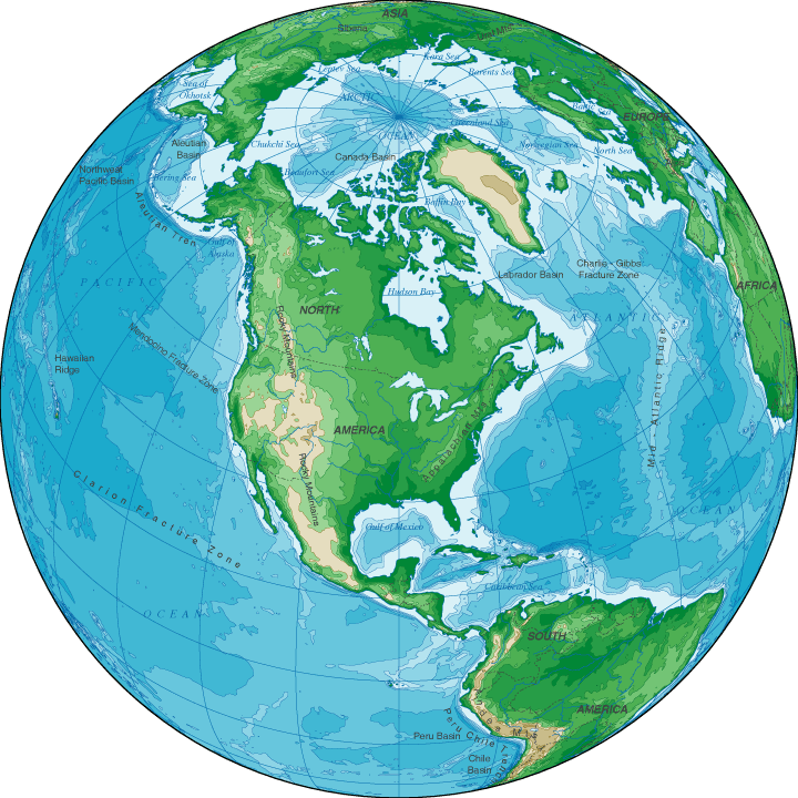
Topographic Map Of North America

Map of North America > History | Travel Tips

Relief Map | Topo Map

The North American continent, extending from the Arctic Ocean in the north to the Caribbean Sea and the isthmus of Panama in the south, is a land which features the high Rocky Mountain ridges in the west, the Great Plains and prairies in the middle, and the lower Appalachian Mountains in the east.  Boreal forests and the tundra lie to the north while a broad coastal plain extends throughout the southeast.  Major islands of North America include Greenland and Newfoundland in the north as well as the Arctic islands of northern Canada and the tropical islands of the Caribbean.
North America Topographical Map
map north america - topographical map of north america

Copyright © 2005-2024 Map-Of-North-America.us.
All rights reserved.

North America Map
North America History & CultureNorth America Travel & Tourism
Relief Map • North America Topographic Map

Topographical Map Of North America